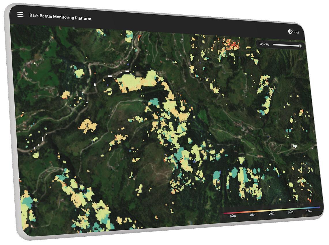
Forest Monitoring with Satellite Imagery — System Interface & Architecture
Project Overview
AI-powered satellite observation platform detecting bark beetle infestations at the earliest green-attack stage to protect European timberland.
Technology Stack
PyTorchPythonSentinel-2 EO DataGDALFastAPIReact Geo-Dashboard
Deep Learning on Multispectral Satellites
Leveraging Sentinel-2 multispectral bands and high-resolution orthophotos, our convolutional neural network detects canopy moisture and chlorophyll deficits prior to visible discoloration.
Key Deliverables
- Automated weekly anomaly heatmaps across national forestry zones.
- Integration with GIS planning software for forestry rangers.
- 91% validation accuracy in early stress detection field trials.
Have a similar project in mind?
Let's discuss how PRIOT can build a custom digital platform tailored to your operations.
Book a 15-min Technical Consultation